Solo in Desolation Wilderness, round two: Summit atop Pyramid Peak
This is a follow up to my previous post surrounding a solo trek into the Wilderness. Conditions were far more cooperative on this second bout.
- click any image for larger view
I wanted to stand atop a mountain
While I’ve been to the top of a mountain before, it has always been attained via car, or it was a low altitude mountain. On a previous attempt to climb Mt. Hood’s north side with some experienced climbers, I was flatly humbled by how tough it is to mountaineer. On that trip, our collective summit attempt was thwarted by avalanche conditions at 10K feet, while my own was shot down from exhaustion as well as fear.
It became a personal goal to reach the top via my own leg power.
Pyramid Peak is Desolation Wilderness’ tallest
Experienced mountaineers reaching this blog via Google will scoff at calling this a ‘mountain climb’, when compared to tougher mountains. But this isn’t their story, it’s mine. It’s a transparent take on the physical and cerebral challenge that comes with throwing yourself solo into nature’s tough corners.
I had never experienced the pain and reward of reaching the summit, especially in wintery conditions (which is what I sought, strangely), so Pyramid Peak’s proximity to San Francisco, my familiarity with Desolation Wilderness (and the landmarks that helped guide me safely around frozen lakes), and the fact that I could do it solo with minor technical knowledge meant it was the perfect peak for a first ‘go’.
Starting at Pyramid Creek Trailhead…
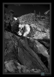
It’s a bit of a jaunt from the start of trailhead to get to the falls. And on this weekend, it was not snowing heavily like the previous trek, but was instead sunny and warm. Dangit – some clouds and cold weather would have been nice…
Because of the heat, the climb to the top of the falls consisted of “drink water, pant & perspire. Rinse and repeat”. Eventually I went through two liters in roughly 3 hours, but hit the top of the falls to find snowfields galore and cooler breezes. Time for snowshoes…
From the top of the falls, I continued northwest around Avalanche and Ropi lakes, winding circuitously to avoid the frozen bodies of water. I was solo. I did not want to end up as an REI-adorned ice cube.
Now at camp at the base of the peak, I setup the tent and began melting snow. The view above is looking east.
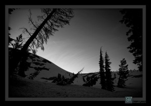
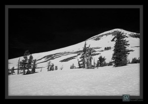
Looking from my tent, above, I could see that the trees nearby looked like they’d endured quite a few avalanches, or sustained winds. The latter seemed less likely right at the east base of the mountain. Given the walls above this camp were 45 or more degrees, avalanches seemed like the culprit.
Morning time, and time to move. Here’s the view looking back towards the camp. The trees towards the left of that bunch are the ones I imagine have seen their share of avalanches.
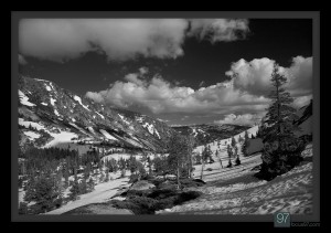
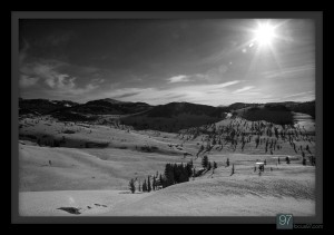
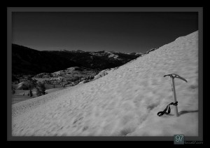
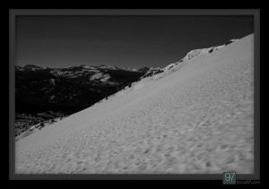
Here’s the view looking south. Not too steep just yet. Snow is slightly soft’ish, but hard enough that slips happened. No crampons necessary, however.
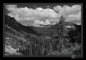
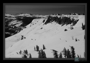
Here is the opposite view, looking north into Desolation Wilderness.
Around 8500 ft (I believe) and the slope is steepening. The sun at 7:30 am is ever softening the slope, making each step a bit more sure-footed.
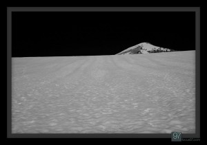
Still steep, but at least I see the pyramid. Nearing the top of this stretch proved to level off a bit before the final steep stretches.
If you veer due west once atop Horsetail Falls, you’d end up in the area of the above picture. It’s do-able in the summer, but in these conditions by myself I was certain from this vantage point that my route was safer.
Finally at the top of the steepest stretch. It’s now a jaunt towards the left of the above photo. A nice break, and an encouraging stretch of low angle traversing.
Above was my last stop, at the start of the final, consistently steep angle that forms the ‘pyramid’ where the peak derives its name. From here, it’s either a sketchy stretch of snow with the tiniest margin on which to climb (don’t slip, as it’s only a few feet of sliding until the east-face angle is steeper than your ice axe will cooperate with), or stepping/hopping from one large talus slab to another. I chose talus.
Finally, the payoff
No, not the summit. The chance to catch my breath, drink my last bit of water, and have more trail-mix. I was hungry. And beat.
But, yeah, the summit!
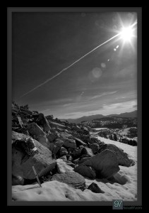
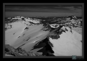
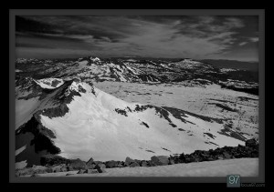
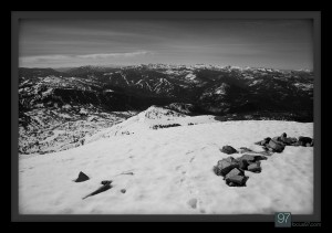
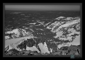
The view is indeed incredible, and the actual surface area up there was not much larger than a small San Francisco cafe. Some views:
To be sure…
Mountains are not easy to climb. The summit is not easy to reach. Climbing at high altitude with a heavy pack on your back is in most every way a continually strenuous, at times grueling activity. (It would have been much easier to reach the summit, if they didn’t always put them at the top of mountains.)
To reiterate, the reward isn’t so much the summit. It’s just a destination. The reward is the journey, the challenge, the quiet, the taste of real food once you’re home, and the feeling that you’ve pushed yourself. It’s addicting.



Comment by Meghanon June 20, 2011
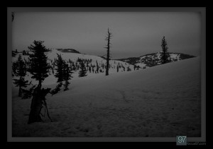
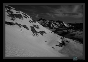
I really like the last photo, puts us in perspective. We are but a speck in space and time! What amazing adventures you challenge yourself with! Parabens! Felicidades!

Comment by Mike Leeon June 21, 2011
Funny, I looked at my last post and said I “won’t be going up the falls solo again”. I did, but at least this time it wasn’t in a white-out (!).